Mars Technology on Construction Sites
10:52
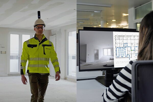
A groundbreaking feature, SiteView by PlanRadar, is now entering construction sites, revolutionizing the way construction work is documented. It allows for precise mapping of images on 2D plans and real-time analysis of changes. A simple walkthrough of the construction site with a 360° camera is enough to create an accurate visual record of every stage of the project – from the foundation to the final finishes. This is all made possible by using SLAM (Simultaneous Localization and Mapping) technology, which has traditionally been used in robotics and autonomous systems to enable devices or robots to navigate unknown environments.
SLAM works by creating a map of the area while simultaneously tracking the device's location. As the device moves, it uses sensors such as cameras or lasers to gather data about its surroundings, identify walls, doors, and objects, build a digital "image" of the space, and track its movements.
“With every new data point, both the map and the device's position are constantly updated, allowing for smooth navigation, obstacle avoidance, environmental adaptation, and real-time data capture. SLAM has mainly been used in industrial robots with autonomous systems. Autonomy is a key pillar of Industry 4.0, and in recent years, SLAM has expanded to other sectors, improving efficiency and creating precise visual documentation,” Damian Kwiek from Industry Up, specializing in Industry 5.0, explained.
(WBJ)