Polish map of the coronavirus created
20:23
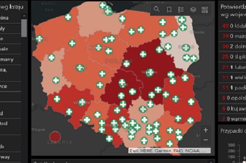
Esri Polska has created an interactive map on which we can check the number of new coronavirus infections in different parts of Poland. The map is updated on a regular basis and uses data from the Ministry of Health.
For comparison, below we also have information on the overall number of cases and deaths worldwide. Next to it is a list of countries most heavily affected by the Chinese coronavirus outbreak.
In a separate window, we will also find a timeline on which we can easily analyze the rate of coronavirus spread in Poland
The map can be found in THIS place.
(Gazeta.pl)