21:33 16 October 2019
Polish scientists develop new land cover map of Europe
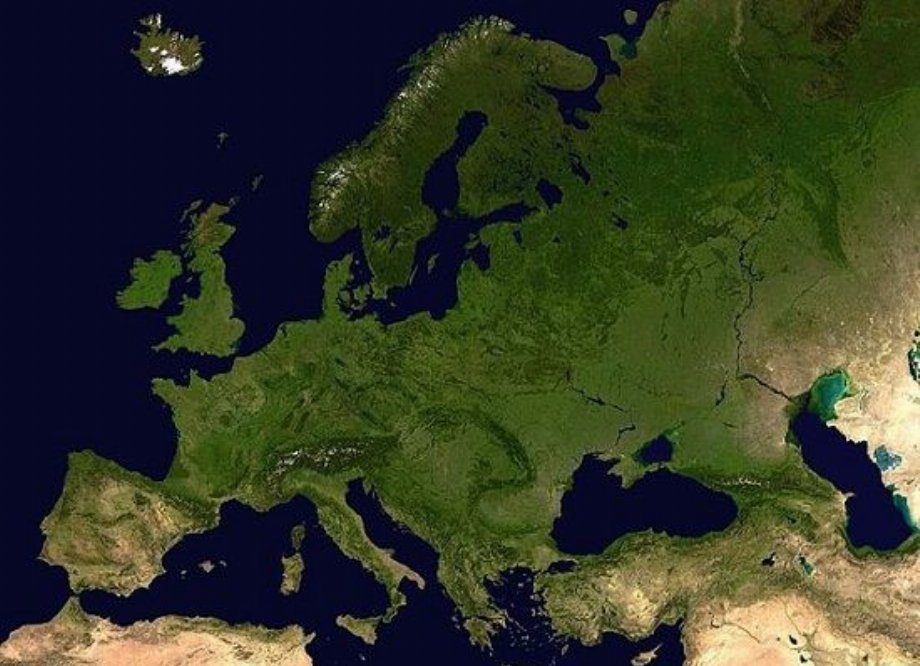


Scientists from the Space Research Center of the Polish Academy of Sciences (PAN) have developed a method for automatically and quickly creating detailed land cover maps. A prototype of such a map, for now only covering Europe, was commissioned by the European Space Agency.
The map presents the state of land cover in Europe in 2017 and includes 13 of the most important land use categories, including agricultural areas, forests (separately deciduous and coniferous) and built-up areas.
Digital satellite maps of land cover are the modern equivalent of paper thematic maps. Thanks to their digital nature, they allow you to perform various environmental analyzes in an easy and quick way. The map of Europe developed as part of the project can be downloaded from https://finder.creodias.eu.
(PAP)